 Ephemeros
Watch places change
Ephemeros is collaborative re-photography: you stand where someone stood before and take the same photo. The two line up, and the time between them starts to move — a coastline retreating, a skyline rising, a garden filling in.

 Coming soon to iPhone!
Free, no ads, no in-app purchases. Android 8.0 and up.
Thirty seconds a visit. A record that keeps growing.
Find a spot near you
A spot is a documented frame — fixed coordinates, compass heading and tilt — that anyone can find again. The map is full of them; tap one and shoot.
The ghost does the hard part
The last photo floats over your camera as a see-through ghost, with live compass and tilt guides. Line up the skyline and you're there.
Then watch it move
Every capture rebuilds the spot's timelapse automatically. Come back in a season and the place is visibly, undeniably different.
Or start your own
One baseline photo starts a new spot. Create spots only where you have lawful access — and get the landowner's permission on private land.
Built for the field
A fast offline-capable map, a camera that guides you onto the frame, and every spot's story in your pocket.
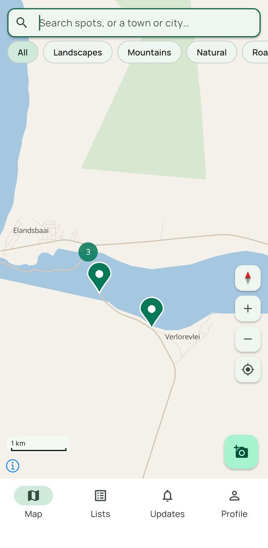
Find spots on the map
Search by place, filter by type, and see what's near you — even without signal.
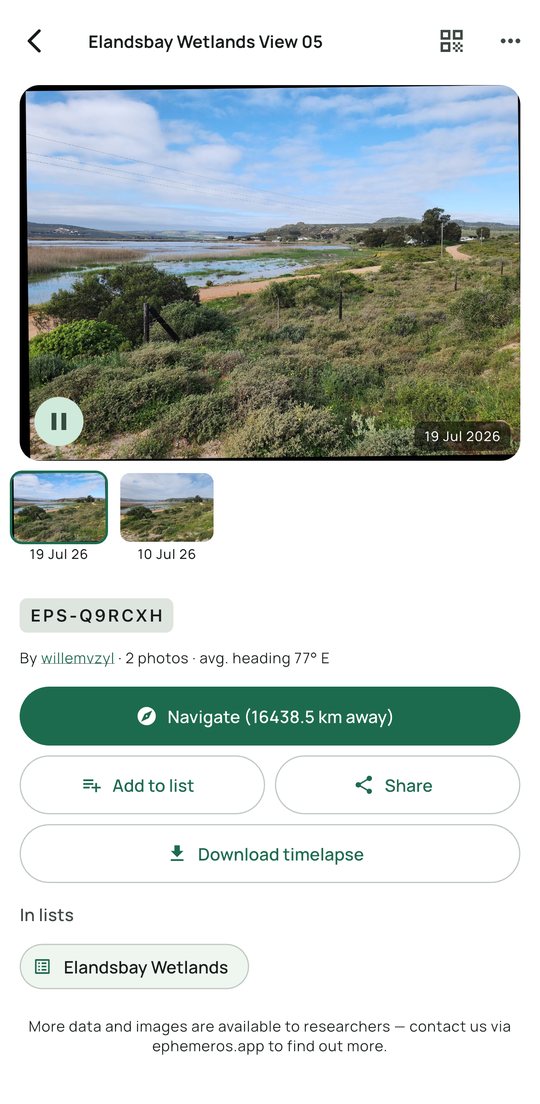
Every spot tells its story
Play the series, navigate to the exact viewpoint, and download the timelapse.
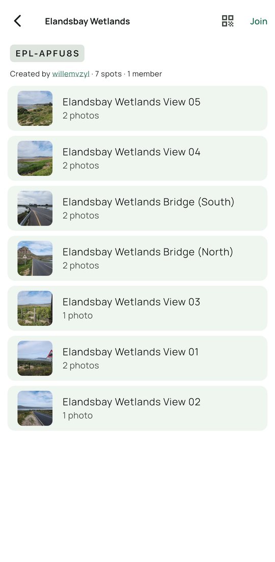
Group spots into lists
Your street, your reserve, your project — share a list with a code or a QR.
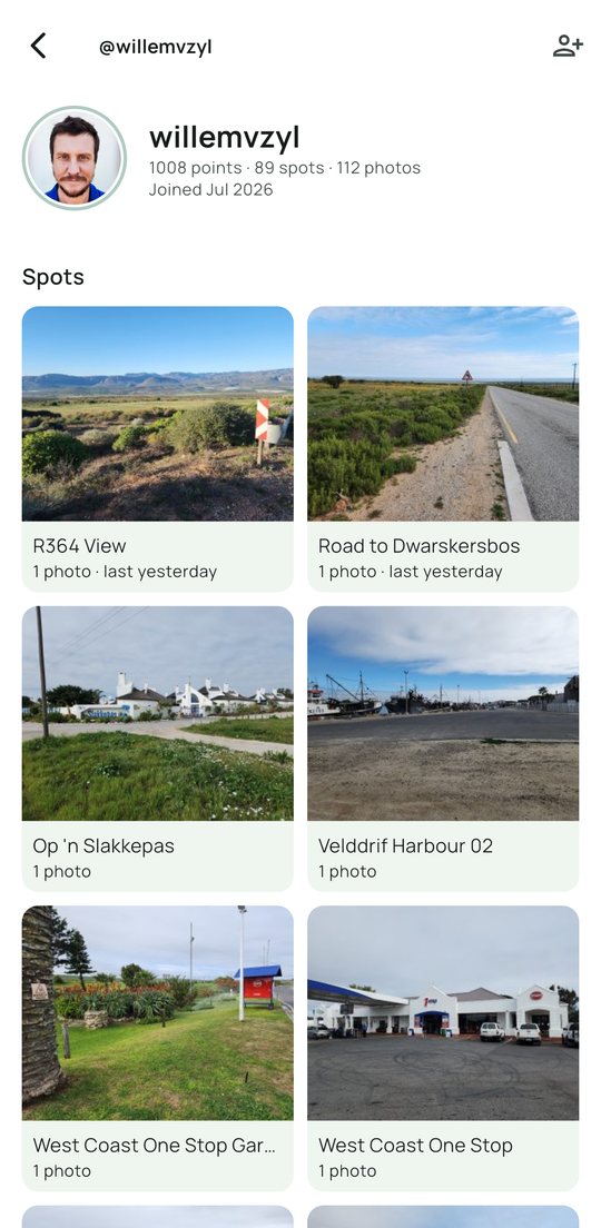
Build your record
Earn points and trust as your spots and photos are approved.
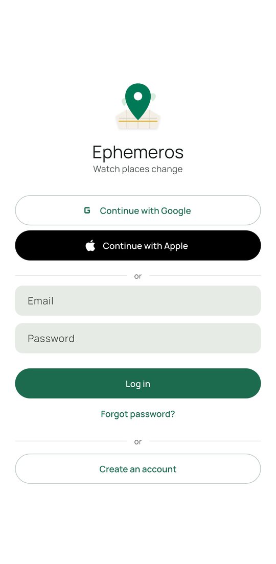
Sign in your way
Google, Apple, or email — and full offline capture that syncs when you're back online.
In-app camera only
Every photo carries accurate location and orientation metadata — that's what makes the series scientifically useful.
Works without signal
Shoot offline; uploads queue and sync automatically when you're back online. Wi-Fi-only if you prefer.
A respectful record
Photos are reviewed before they join a public series. Keep spots private, hide your profile, export or delete your data any time.
Free, no ads
No in-app purchases either. Your photos are shared under CC BY 4.0 so the record stays open.
Public, private, or just your team
You decide who can see a spot, and who fills it. Some people want the whole town photographing their high street; others want one paddock documented by three colleagues and nobody else.
Public spots
On the map for everyone. Anyone who passes can add the next photo, so a viewpoint keeps getting photographed long after you stop visiting it. Each spot has a QR code and a printable sticker for exactly that.
Private spots
Yours alone — off the public map, out of the exports, invisible to strangers. Share one deliberately by adding it to a list, and only that list's members can see it.
Lists for a team
Group spots into a list, then invite friends, a class or colleagues. Members can be allowed to add spots of their own, and everything they capture feeds the same record.
Coastlines, glaciers, building sites, gardens, high streets, street art, heritage sites, school grounds — see all the use cases at ephemeros.app/for.
Whatever the use case, the data underneath is the same
Every photo is captured in-app, moderated, aligned onto its spot's baseline frame and enriched with the weather it was taken in — public images can be exported through the Researcher API under CC BY 4.0, ready for analysis.
Read the Researcher API documentation →Start recording change today
The best time to take the first photo was years ago. The second-best time is now — and every photo after that gets more valuable.
Coming soon to iPhone!